


New homes in Paulerspury | Public Consultation
Rainier Developments Ltd is preparing an outline planning application for up to 26 new homes south of High Street in Paulerspury.
As well as providing 50% of homes as affordable housing, the proposals will create new public open space, enhance biodiversity and provide supporting infrastructure.
Before finalising and submitting an outline planning application to West Northamptonshire Council, Rainier is inviting the community to comment on the plans and share their feedback. On this website you can find more detail about the emerging proposals, read our handy FAQs and provide your feedback.
ABOUT RAINIER DEVELOPMENTS
Rainier Developments are a privately owned land and development company, who work jointly with landowners, key stakeholders, local authorities and developers to create high-quality developments, built with both the present and future needs of local communities in mind.
Rainier have delivered projects throughout the Midlands, and nationally, and understand the importance of engaging with the local community and West Northamptonshire Council to understand the unique characteristics of the site and the needs of the Council. They are committed to make a positive contribution to Paulerspury and ensure the community meets local demand for housing.
HOW CAN I HAVE MY SAY?
You can submit an online feedback form with your comments by clicking here. You can email the project team at contact@rainier-paulerspury.co.uk . You can Freephone 0808 1688 296 to leave a message and a member of the team will call you back.
Please submit your feedback by Friday 26th September, so that it can be considered before the plans are finalised and submitted as part of an outline planning application to West Northamptonshire Council.

Location & Background
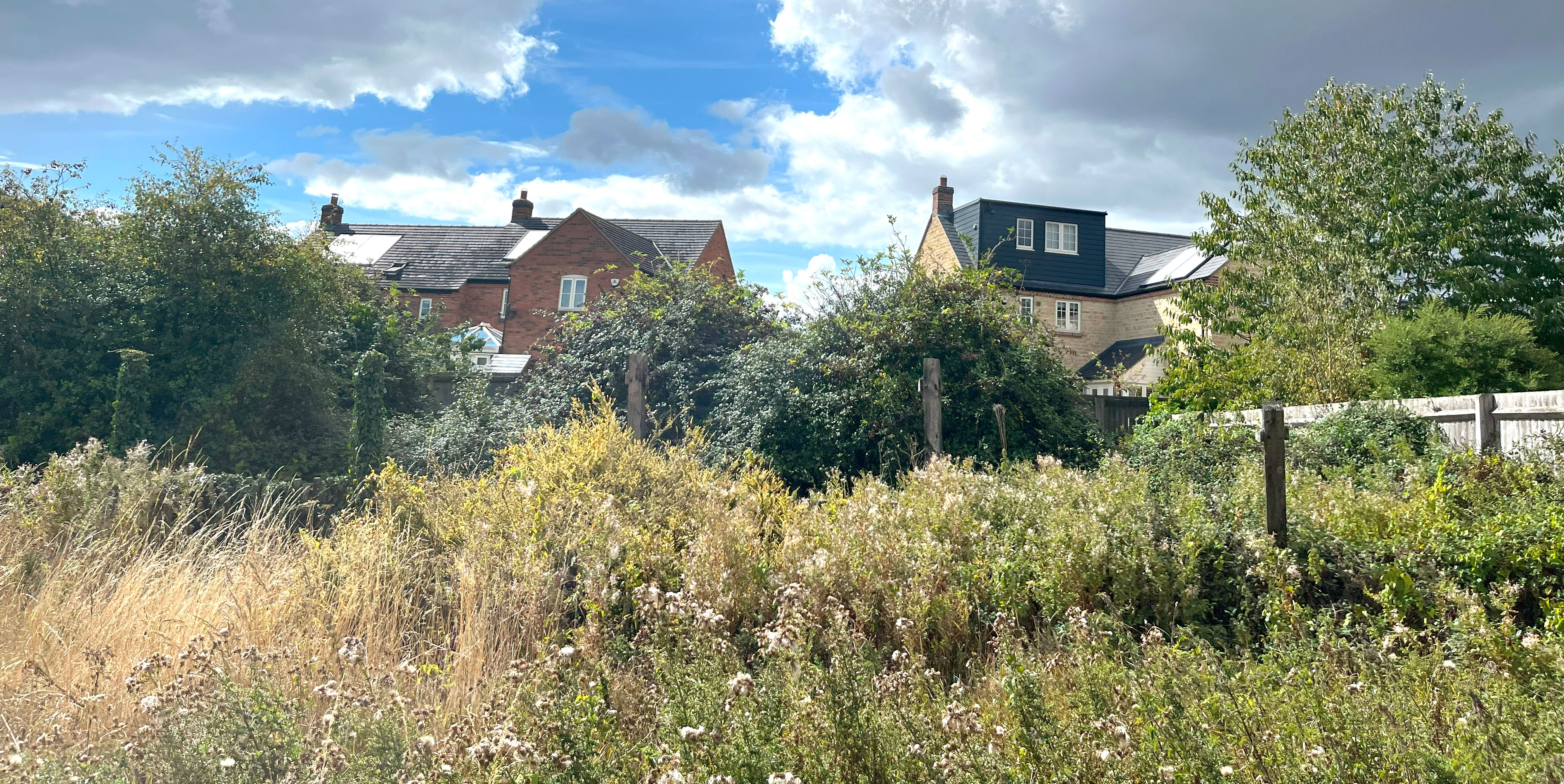
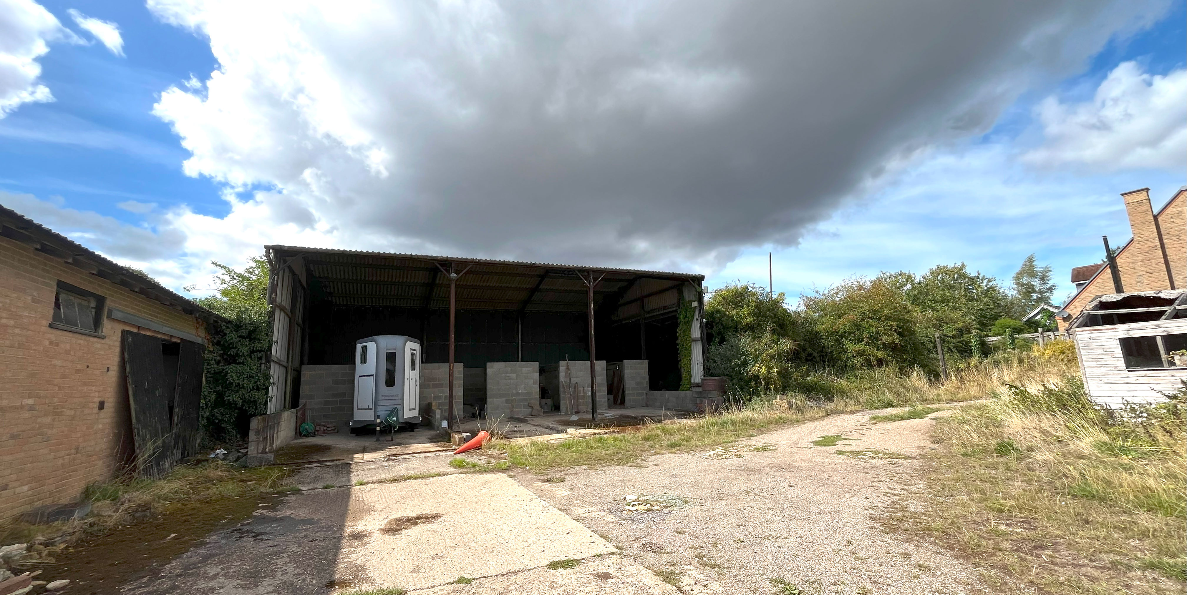
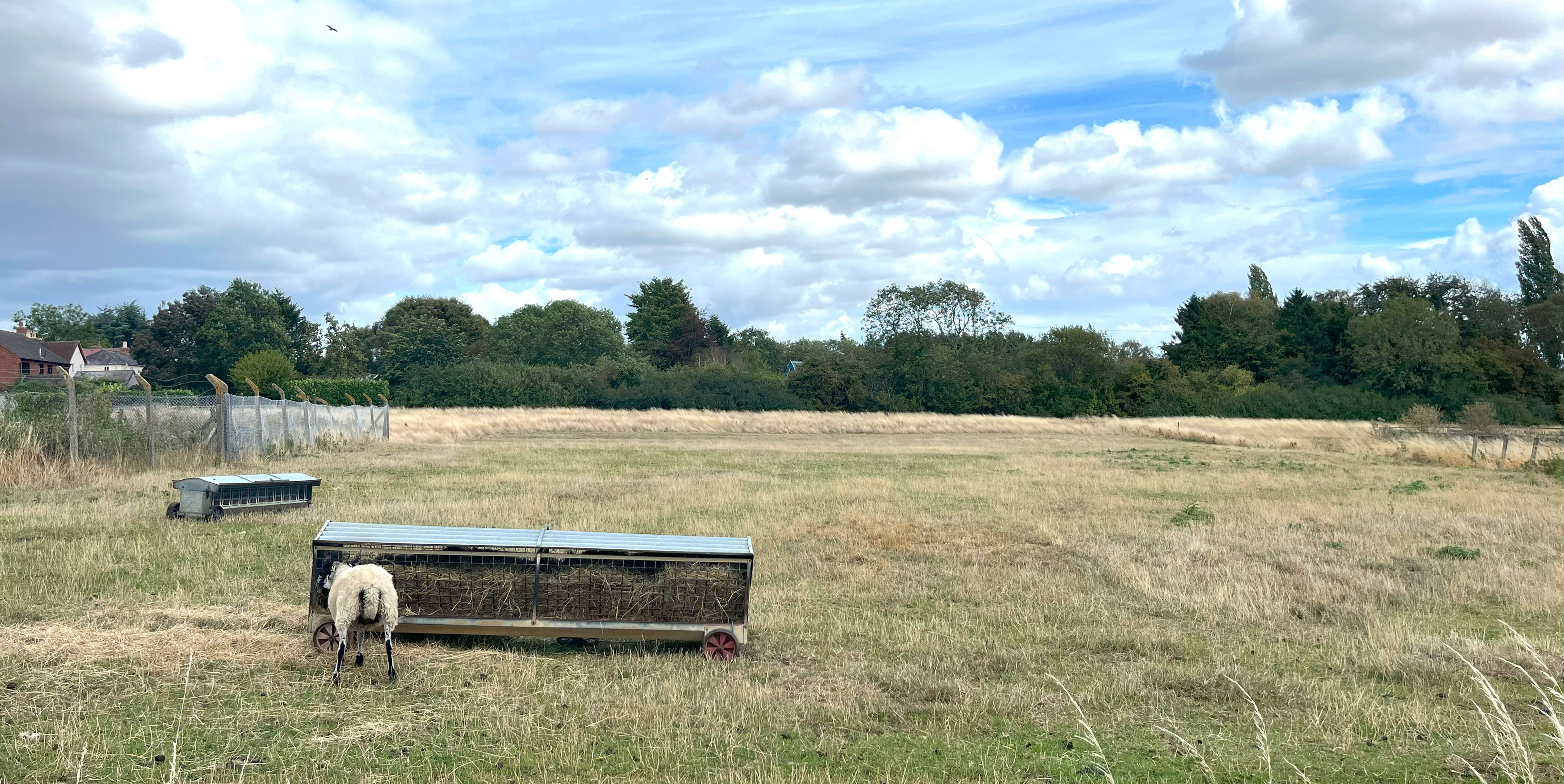
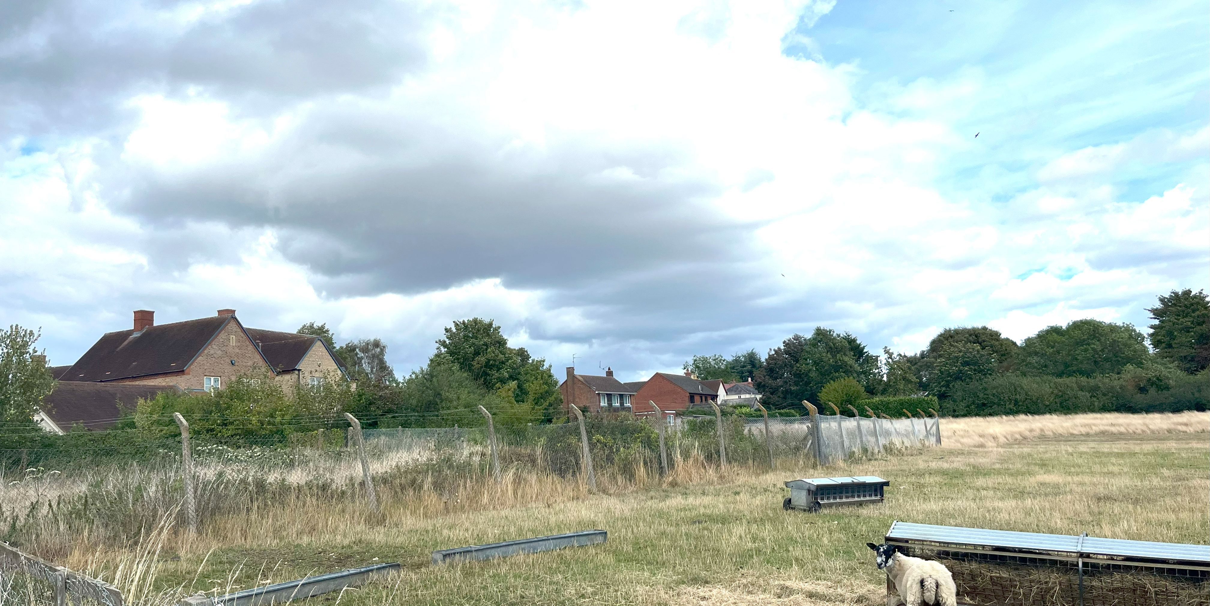
The site is located south of High Street in Paulerspury, between Kennel Lane and 27 High Street. The site currently comprises 1.85 hectares of mixed greenfield/brownfield land bounded by existing residential development to the north, east and west.

Planning Context
What is an outline planning application?
An outline planning application seeks to agree the principle of development on a site including the land use (in this case, residential) as well as identifying a masterplan for the proposed developable area. That’s why you may not see the level of detail in the plans you would expect. If an outline planning application is granted planning permission, this must be followed by a ‘reserved matters’ submission showing more detail, which will be determined separately by the Council.
As part of this outline planning application for up to 26 new homes, Rainier is seeking approval for the principle of development and access only. Permission for all other matters including layout, scale and appearance of the new homes will be agreed with the Council through a further reserved matters application, which will also be subject to further consultation with all stakeholders.
Why does Paulerspury need more homes?
West Northamptonshire Council is required to bring forward sites for housing to meet its needs, which is calculated based on housing demand and population statistics by the Ministry for Housing, Communities and Local Government. Currently, West Northamptonshire Council must meet an annual target of 2,515 new homes.
Vision & Key Development Principles
The site provides an opportunity to create a sustainable and attractive extension to the village, inspired by the context and local character of Paulerspury while protecting the landscape setting.
Multifunctional Open Space
A network of green spaces, along with proposed attenuation features, will form the framework of the site. Green space across the site will incorporate and enhance existing landscape features, such as hedgerows, trees and other vegetation. A landscaped edge along the southern boundary will help to create a gradual transition from development to the surrounding countryside.
Local Movement
The proposed access will incorporate active travel measures to enable connection with the existing network, supporting and promoting the use of active and sustainable travel and limiting the impact of vehicle traffic. Direct pedestrian and cycle connections will be created within and across the site, a vehicular site access from High Street, along the northern boundary.
Placemaking
Homes will be positioned to face the open space, offering both appealing views and passive surveillance. Along the primary street, buildings and frontages will adopt a more consistent and structured form to create a sense of enclosure and formality, while development at the outer edges will allow for a looser, more informal arrangement.

Emerging Proposals
Our emerging masterplan shows how we think the new homes, access and public open space could be delivered within the site.
We are still in the early design stage but currently our initial plans could provide:
- Up to 26 new houses, including 50% as affordable homes, across a range of types, sizes and tenures.
- Homes built to Future Homes Standards, ensuring they are future-proofed for the low-carbon transition.
- The site provides an opportunity to create a sustainable and attractive extension to the village, inspired by the context and local character of Paulerspury while protecting the landscape setting.
- A high-quality design that reflects local architectural styles and distinctiveness.
- Sensitively landscaped to include new public open space, including children’s play area and new habitats for wildlife.
- New planting to sustain and enhance new biodiverse habitats that contribute to the ecological value of the community.
- Investment in local facilities and infrastructure as requested.
- Jobs and economic benefits during the construction of the development.
.jpg)
.jpg)
Landscape and Ecology
Landscape
Viewpoints have been preserved within proposed green space to maintain views across the site, while street trees will soften the visual impact of the development. To ensure the new development sits comfortably within its rural setting, development is focused in the eastern and western part of the site next to existing housing. This approach respects the natural topography and preserves the landscape character looking south from High Street.
Ecology
The proposed development has been carefully shaped around the site’s existing natural features. Ecologically valuable elements such as species-rich hedgerows, mature trees and the character of the landscape have been retained and integrated into the design. These green features form the basis of the site’s green infrastructure, providing public open space and opportunities to enhance local biodiversity.
New tree and hedgerow planting will help to define the boundaries between housing and open space, supporting a clear distinction between built and natural environments.
A series of ecological surveys has informed the proposals to ensure protection and enhancement of local habitats. Key measures include the enhancement of hedgerows and significant retention of green space to nurture biodiversity. The drainage strategy prepared as part of this planning application will also support local wildlife through sensitive planting and long-term management. Additional features such as bat and bird boxes, hedgehog houses, log piles and invertebrate hotels will encourage a range of species.
Access & Transport
Vehicular access to the proposed development will be provided via a new priority ‘give way’ junction on High Street. The access road will be 5.5 metres wide, with 6-metre radi at the entrance to accommodate turning vehicles.
The proposed development of up to 26 homes is not anticipated to generate a significant number of trips and is unlikely to have a material impact on the local highways network.
Discussions with Ability Transport are being undertaken to provide a morning and evening community bus service to Towcester to connect with the commercial bus services which provide access to Northampton, Brackley and Milton Keynes and a daily off-peak service to Towcester. This type of community services is already successfully operated in other parts of Northamptonshire and will offer a significant benefit to all residents of Paulerspury.
Pedestrian and cycle access will be prioritised through the provision of a 3-metre-wide shared-use path. This path will run within the site boundary and connect to High Street, linking cyclists to the road and pedestrians to the existing footway.
The site is well-placed to support sustainable travel, with a range of services and facilities in proximity in the village. Most local amenities are within 800 metres, walking or cycling distance. This includes primary school and pre-school, bus stops, local shop, pub, place of worship, and GP surgery. The convenient location of these destinations encourages future residents to make day-to-day journeys using sustainable transport options.
_Proposed-Vehicular-Access.jpg)
-
_Proposed-Drainage-Strategy.jpg)
Drainage Strategy Plan (click to enlarge)
Drainage
The Site is in Flood Zone 1 meaning that it is within an area with the lowest probability of flooding at less than 0.1% each year.
As part of the drainage strategy covering the Site, the proposals include an attenuation pond and a pumping station to manage surface water drainage. These features have been sensitively incorporated into the design on the public open space and to support the enhancement of local biodiversity.
A comprehensive drainage strategy utilising sustainable drainage systems (SuDS) will ensure that surface water falling on developed areas is captured, treated and attenuated on site before being discharged at a controlled rate which is set to ensure there is no increased flood risk on or off site.
Sustainability
All homes on the site will be designed and built to meet the Future Homes Standard 2025, ensuring they are future-proofed for the low-carbon transition.
They will feature high-performance insulation to minimise heat loss and maximise comfort, and heating and hot water will be provided by efficient low-carbon systems. Together, these measures will significantly reduce household energy use, cut carbon emissions and lower energy bills for residents.
The development will run entirely on electricity and will integrate low-carbon heating in every home. A proportion of the site’s energy demand will be met through roof-mounted solar PV panels, generating clean, renewable power on-site. Where possible, homes will be designed to maximise solar gain and optimise roof orientations for PV performance. This approach ensures that day-to-day energy use is supported by sustainable sources, reducing reliance on the national grid and further lowering the environmental impact.

Have Your Say
The opportunity to contribute feedback is now closed.
FAQs
We understand that proposals like this raise important questions from the community. That's why we've included answers to some of the most common queries about the planning application.
No, the site is not located in the Green Belt.
Any planning permission is likely to be required to make financial contributions to local schools, healthcare facilities, transport infrastructure and utilities, if requested by the relevant bodies. The level of contributions will be determined as part of the planning process and in consultation with service providers.
While the planning application seeks permission for up to 26 homes, 50% will be delivered as affordable housing.
Vehicular access to the proposed development will be provided via a new priority ‘give way’ junction on High Street. The access will be designed to accommodate all necessary vehicle types and will include measures to support safe and convenient movement for pedestrians and cyclists.
The proposed development of up to 26 homes is not anticipated to generate a significant number of trips and is unlikely to have a material impact on the local highways network. As part of the planning application, we will submit a Transport Statement which assesses the impact of the development on the local highway network. This exercise will use the nationally recognised TRICS database to accurately forecast the proposed development’s traffic generation.
The proposals will meet a policy-compliant mix of parking spaces for each dwelling which is as follows:
- 1 parking space for a one-bedroom home
- 2 parking spaces for a two to three-bedroom home
- 3 parking spaces for a four-bedroom home
The parking in the proposals will focus on providing parking spaces on private drives but will also include allocated on-street parking where necessary. Unallocated visitor parking will also be provided throughout the development. The exact mix and location will be determined at any future reserved matters planning application.
A comprehensive drainage strategy utilising sustainable drainage systems (SuDS) will ensure that surface water falling on developed areas is captured, treated and attenuated on site before being discharged at a controlled rate which is set to ensure there is no increased flood risk on or off site.
This will be managed through a Construction Management Plan, which will need to be agreed with and approved by West Northamptonshire Council before development commences.
We will be submitting the planning application later in the summer.

Contact Us
If you have any comments or questions or would like a hard copy of any of our consultation materials, please contact us.
Send us a message and we will get back to you as soon as we can: